Rivers and lakes · Tumlingtar
Walk down to the Arun river
A walk from the airstrip terrace down to the banks of the Arun, one of the rivers that cut right through the Himalaya, with views back up to the tar and talk of the hydro projects changing the valley.

_Tumlingtar_Arun_River_Khadbari_Sankhuwasabha_Nepal_Rajesh_Dhungana_(1).jpg)
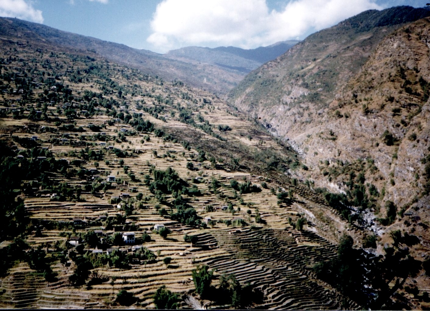
We walk from town across the fields to the edge of the tar, where the land drops toward the Arun. From the edge there is a wide view of the river and the forested ridges beyond. A path leads down past farms and bamboo groves to the river, which in winter runs clear grey-green between gravel bars and sandbanks, and in the monsoon swells into a fast brown flood that fills the valley floor.
Our guide explains the river's journey: it rises in Tibet, where it is known as the Phung Chu, crosses the main Himalayan range in a deep gorge, and joins the Tamor and Sun Koshi to form the Sapta Koshi, which flows on to the Ganges. We also talk about the hydroelectric projects on the Arun and what they mean for local people, from jobs and roads to changes in the river and the land.
We spend time on the banks, watching the water and the people who use it, before starting back. The walk back up is the hard part, a steady climb of about an hour in the sun. In winter it is pleasant; from April to September, go early in the morning or late in the afternoon to avoid the heat. Carry water and a hat, and stop at a farmhouse tea shop on the way up if one is open.
Good for
Questions
Can I swim in the Arun river?
We do not recommend it. The Arun is cold, fast and powerful, with strong currents even where the surface looks calm, and levels can change with upstream releases from hydro projects. Paddle at the edge only, with care.
How hot is Tumlingtar?
At around 500 m, Tumlingtar is warm. Winter days from November to February are mild and sunny, while April to June can be hot, often above 30 °C, with humid nights. The monsoon months are humid and wet, and flights are often disrupted.
Where does the Arun river come from?
The Arun rises in Tibet, where it is known as the Phung Chu, and flows south through a deep gorge across the Himalaya into Nepal. It later joins the Tamor and Sun Koshi to form the Sapta Koshi, which flows on to the Ganges.
Also in Tumlingtar
More ways to spend the day
 Heritage
Village walk across the Tumlingtar terrace
An easy walk across the flat tar through fields, orchards and farmhouses, with a local guide who explains farming in …
 Heritage
Khandbari bazaar and the ridge road
A drive up from Tumlingtar to Khandbari, the hill-top headquarters of Sankhuwasabha district, to walk its bazaar, see how a …
 Food
FoodA Rai home kitchen in the Arun valley
An evening meal cooked by a Rai family near Tumlingtar, with dishes such as wachipa, millet dishes and seasonal greens, …