Trekking · Thame
Up the old salt road towards Marlung
Walk north from Thame up the Bhote Koshi on the route Sherpa traders used to reach Tibet over the Nangpa La, past yak pastures and herders' huts towards Marlung at about 4,200 m, then return. Wide valley views and very few people.
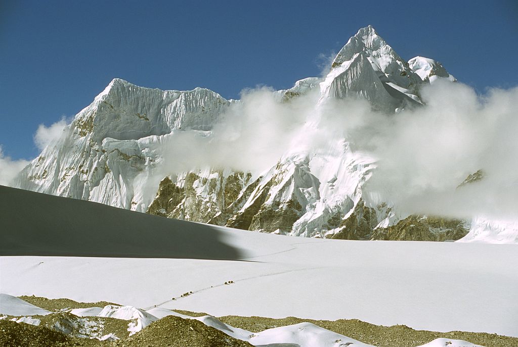

Beyond Thame the valley widens and empties. The trail climbs gently along the Bhote Koshi past potato fields and then summer pastures, where stone huts stand empty in winter and full of herders and yaks in July and August. This is the old salt road: for centuries Sherpa and Tibetan traders drove yaks this way to the Nangpa La, a glacier pass at about 5,700 m, and down into Tibet.
Walking it today, you see the scale of what those journeys meant. The valley rises steadily towards ice and rock, the air thins, and the pass itself lies days beyond. Marlung, at about 4,200 m, is a small settlement with a few lodges, used as a stop on the Renjo La route to Gokyo. A day walk towards it from Thame and back gains good acclimatisation height.
Do not go beyond your guide's advice: the upper valley towards the border is remote, and crossings of the Nangpa La are not open to trekkers. Carry water, snacks and warm layers, as wind picks up by midday. On the way back, look for Himalayan tahr on the cliffs and for lammergeiers, the bearded vultures, riding the thermals above the ridges.
Good for
Questions
Can trekkers cross the Nangpa La to Tibet?
No. The Nangpa La is on the Nepal–China border and is not an open crossing for trekkers. Traders historically used it, and Tibetan traders still sometimes come over for the Namche market when border rules allow. Trekkers can walk the valley towards Marlung and Lungden, which is also the route to the Renjo La.
How high is Marlung?
Marlung lies at about 4,200 m in the upper Bhote Koshi valley, north of Thame. It has a few simple lodges used by trekkers crossing the Renjo La between Thame and Gokyo. A day walk from Thame towards Marlung and back gains roughly 400 m, useful for acclimatisation before high passes.
Is the Thame valley good for the Renjo La crossing?
Yes. Many trekkers walk the Three Passes route anticlockwise or simply cross the Renjo La from Thame to Gokyo, staying at Marlung or Lungden before the pass at about 5,360 m. The approach up the Bhote Koshi is quiet and gradual. Acclimatise well, as it is a long, high day.
Also in Thame
More ways to spend the day
 Spiritual
Morning prayers at Thame's cliffside gompa
Climb 20–30 minutes from the village fields to Thame gompa, built against a cliff high above the Bhote Koshi, and …
 Heritage
Tenzing Norgay's Thame with a local guide
Walk Thame's lanes with a guide who grew up in Khumbu to hear how Tenzing Norgay herded yaks here as …
SpiritualHike to the Lawudo hermitage above the Thame trail
A steep side trail above Mende, on the way between Namche and Thame, climbs to the Lawudo hermitage, the cave …